 Rhumb
Notes from a harbour with no chart
What to do when the survey is a century old and the sandbar is not.
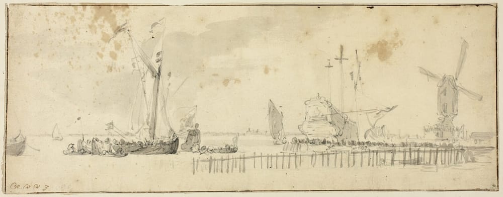
The survey for this stretch of coast was made in 1887 by a naval lieutenant with a lead line, a sextant and, by the look of his soundings, a great deal of patience. Nobody has been back to check his work. The chart still carries his name in small italic capitals, and under it a note that I have learned to read as a warning: from the latest information available.
Sand does not read charts. The bar across the entrance has had well over a century to move, and bars move.
Going in slowly
There is an old order for this situation and it has three parts. Come in on a rising tide, so that if you touch you will float off. Come in slowly, so that if you touch you will not break anything. And put someone in the bow who does nothing but look at the water.
The colour tells you most of it. Deep water is the blue-black of slate. Over sand it turns green, then a pale, milky jade, and when you can see the ripples on the bottom you have about as much water as a tall man.
What the chart was for
I do not think less of the lieutenant. His chart got us to the right bay, pointed us at the right gap and told us roughly what to expect. That is what an old map is for. It is a letter from someone who was here before you, and like any old letter it is true about its own afternoon.
The rest you do with the lead line and your eyes, at two knots, with the tide making.